Ogden Trail Network: Malan’s Basin
n my view the most stunning portion of the hike to Malan’s Basin, is stopping at the summit of Malan’s Peak. The peak provides majestic and panoramic views and is the true reward for making the 2000 ft elevation uphill charge. However, for those interested in the history I would also suggest Malan’s Basin which is a short 20 minute downhill hike from Malan’s Peak. You will know you are there because of the bronze placard commemorating the location.

The basic also boasts a small stream for fresh water for any pets. This water would need to be filtered before it is fit for human consumption. The basin is also a favorite spot for campers and evidence of camp fire pits abounds. From the basin you no longer have any views of the city but can look up to the one towering peak of Mount Ogden up above.
This is easy to identify because of telecommunication equipment and an antenna tower. While it is possible to make the final leg of the hike to Mount Ogden, I have never identified the trailhead. On one occasion I ran into another hiker that conveyed they located the trail but it was heavily overgrown. He claimed that transgressing the trail would require a machete to cut back the foliage.
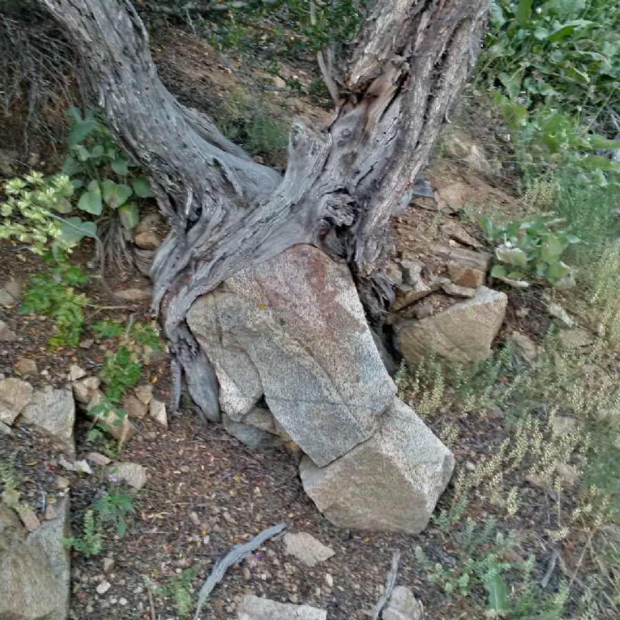
I am not sure about this but do know that if one has made the ascent to Malan’s Peak, dropping into Malan’s Basin below is a good idea. There are also some interesting tree and root formations. The shade on the Peak is non-existent as you basically stand atop craggy rock but as you make the descent to the Basin you will enjoy additional tree cover.
Note, at this elevation it is not unusual to be almost level with hawks and even eagles and you can spot them as they circle directly overhead.

