Browsed by
Category: Hiking

Hiking Denali National Park

Hiking Denali National Park

MY EXPERIENCE AT THE DENALI NATIONAL PARK AND PRESERVE

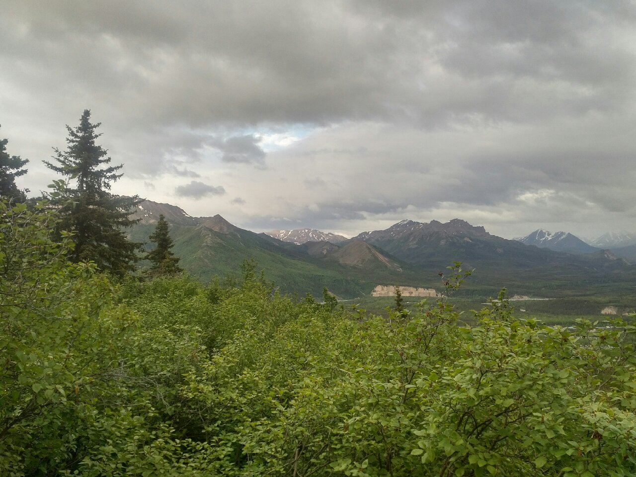
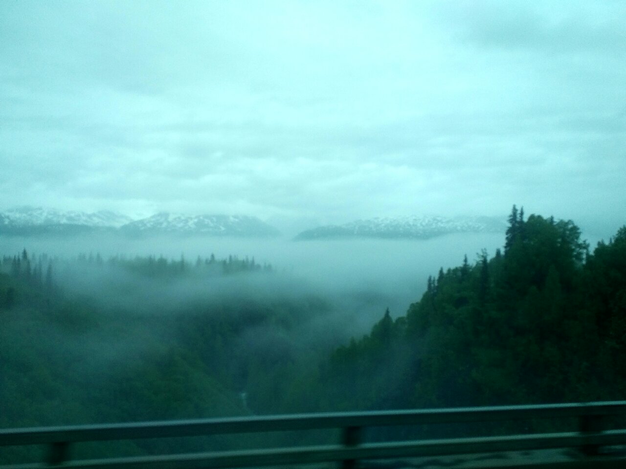
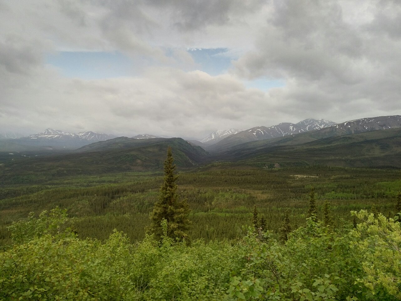
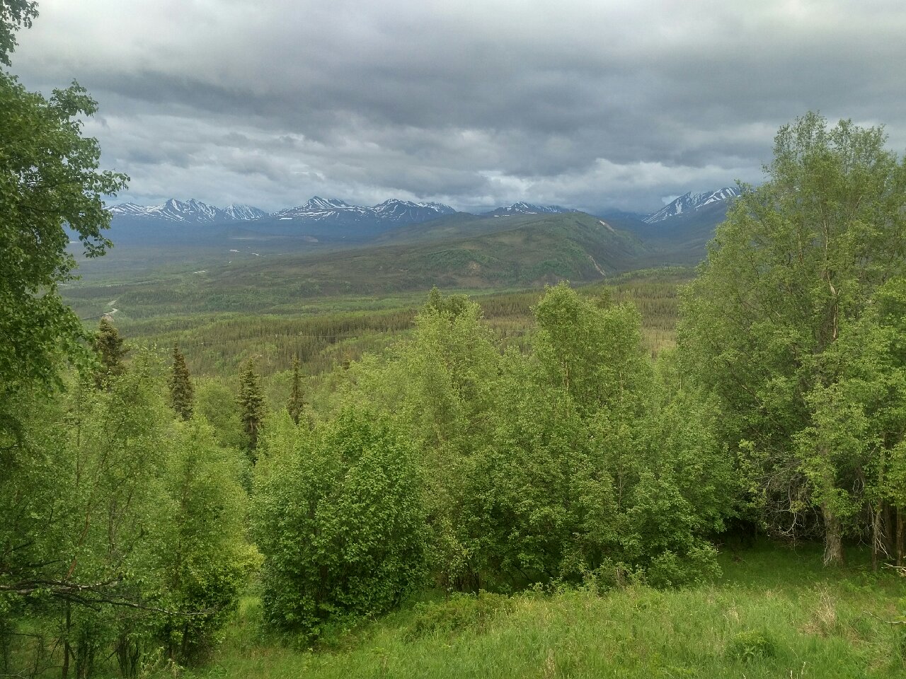
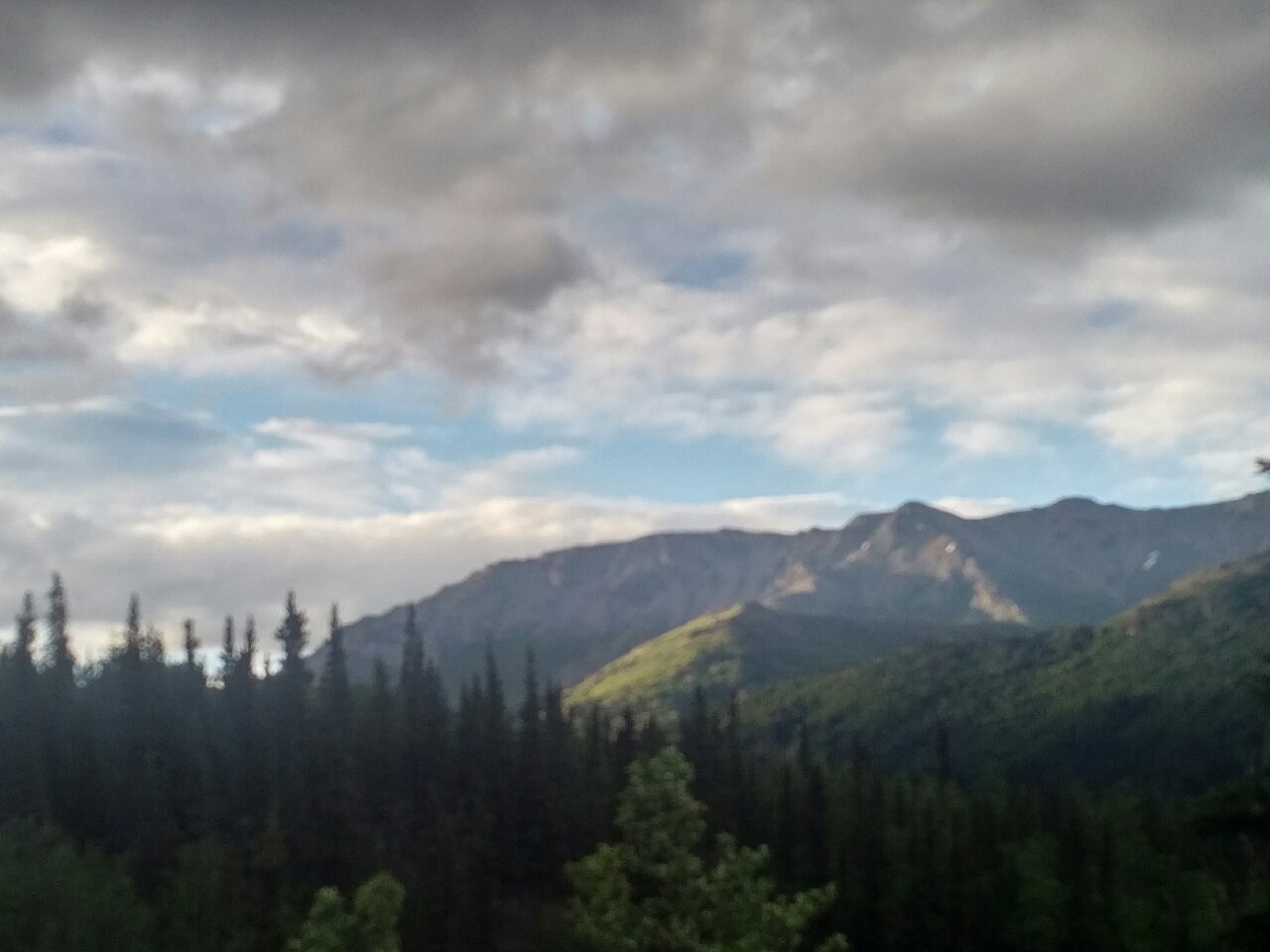
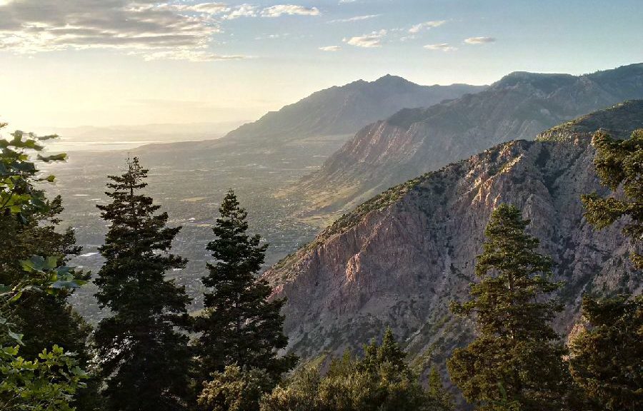
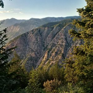
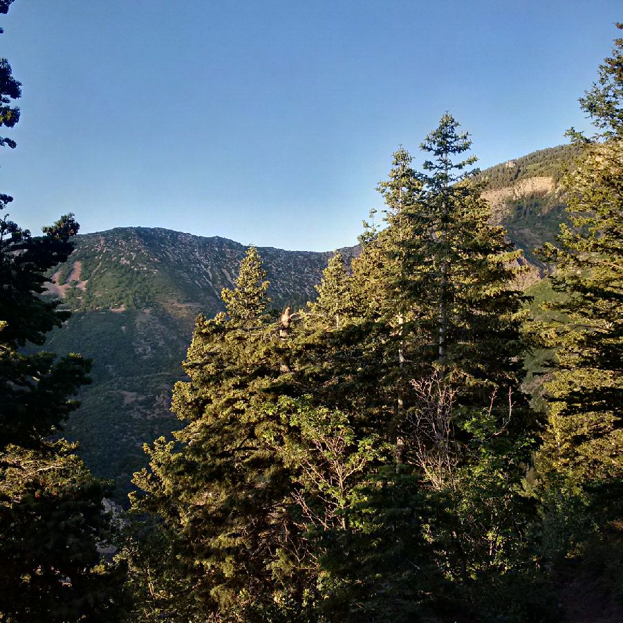
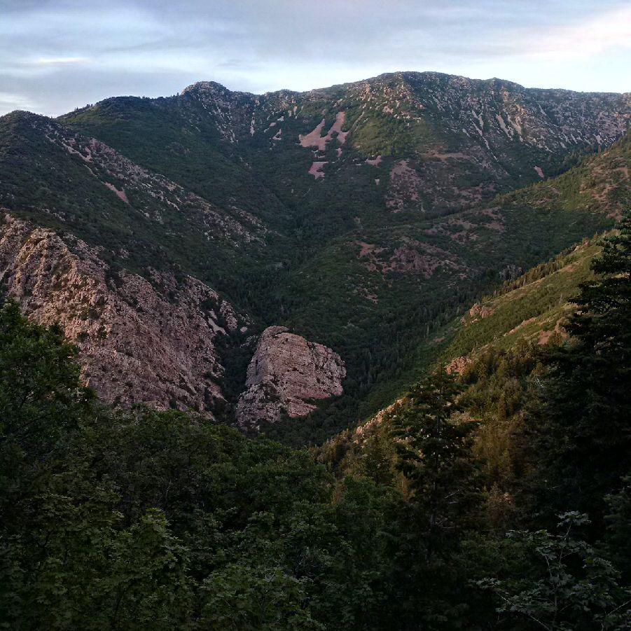
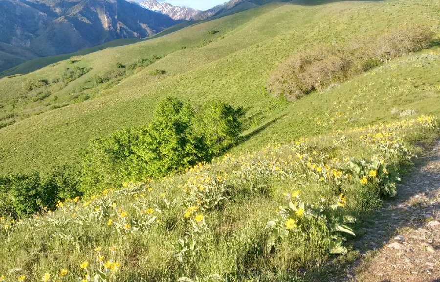
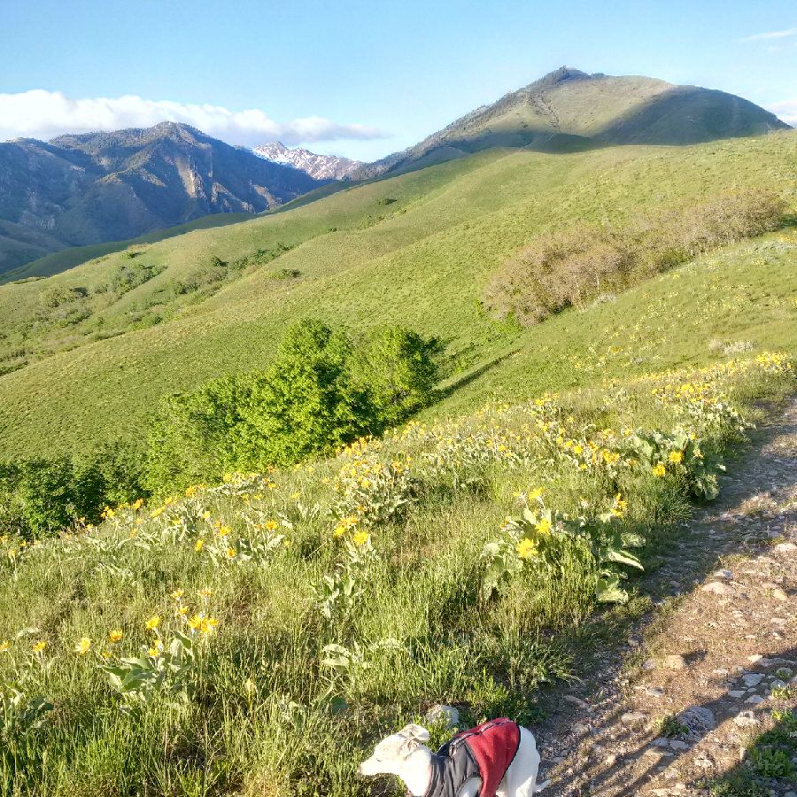
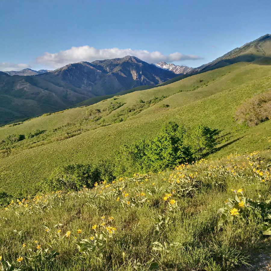
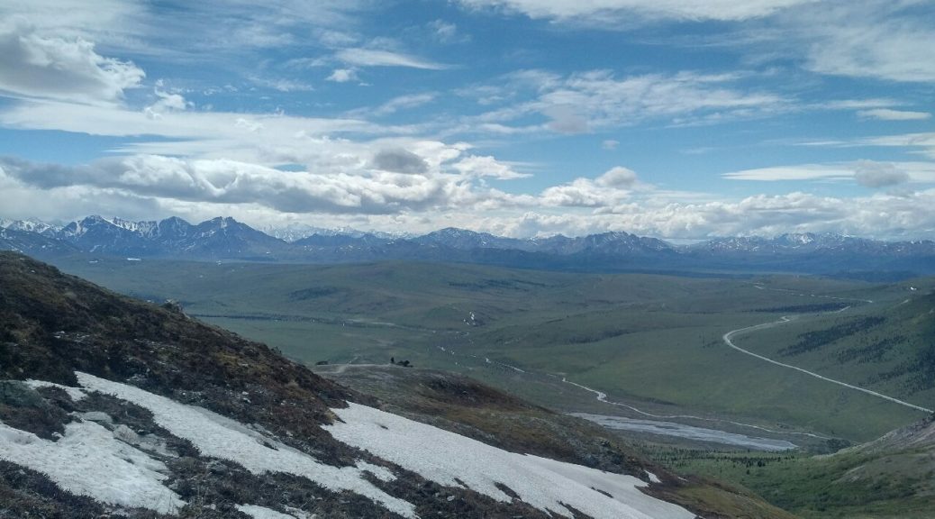
The Denali National Park and Preserve is a 60 acres wildlife reserve located in the Mountain ranges of Alaska. It is home to a diverse variety of plant and animal species including grizzly bears, mountain goats, and deer etc. The undulating lands and peaks surrounding the Denali mountain makes for a great hiking challenge – the reason why it is a must visit for hiking enthusiast across America.

To make the experience at the park more intriguing, the park is maintained as a trail-less National Park; allowing you to fully explore the small peaks, rivers, and valleys surrounding the Denali Mountain and the Mountain itself in utter cluelessness which is exciting as it is intimidating.

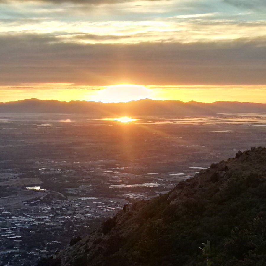
Seeing the Denali National Park and Preserve for the first time is usually a surreal experience. The park is a favorite vacation hiking location for a lot of people in the United States and Canada and is almost always full during the peak season of summer.

The Denali National Park and Preserve is divided into four campgrounds which have a strict camp maximum holding capacity at all times. The largest of the campgrounds is the Wonder Lake campground, closely followed by Tek and then we have the smaller campgrounds of Igloo and Sanctuary.

The Denali National Park and Preserves holds a special place in my heart. It is one place I go to find solitude and a little fitness. At my age (I am in my early forties), keeping fit and exploring places have become one of my life goals and my visit to the Denali National Park and Preserves is fulfilling on all fronts.

DENALI NATIONAL PARK AND PRESERVE

I have been to the park twice, first with a group of hiking buddies and the next was by myself, to explore the serenity I felt on my first visit.

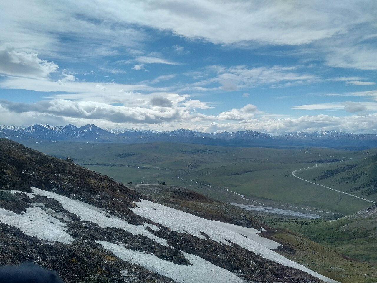
Although the Denali National Park and Preserve is a trail-less park, there are topography maps of the area to guide you on your sojourn.

On the first day I arrived, I was able to secure a great camp spot at the Wonder Lake campground. Unlike the last time when we stayed at Savage outside the campgrounds and had to commute daily for the 3 days we hiked in the park, I was close to the hiking areas and was able to set out early, traveling “outbound” when most people are traveling “inbound”, allowing me to reach great day hikes easily. My prime purpose of staying inside the campgrounds was to get as much of the Parks’ experience as I could in the time that I was going to be there.

I would have loved a campsite allocation at any of the smaller campgrounds of Igloo or Sanctuary but as reservations are only made on site, at the time of my arrival, the campgrounds were filled up and there was no available space for me. Leaving me to resort to the Wonder Lake campground and boy! I was glad of the eventuality of my choice.

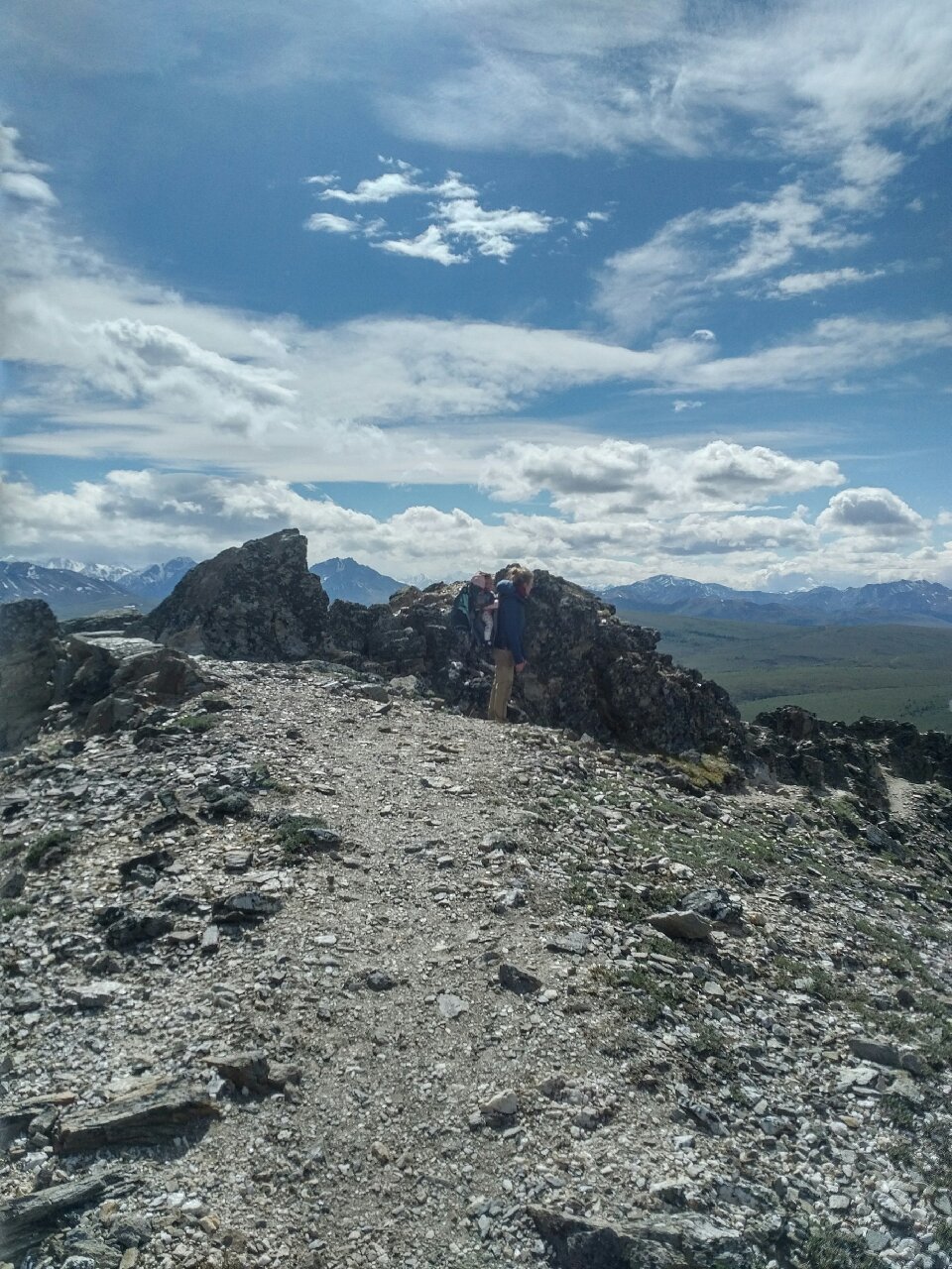
I had a fun time at the Wonder Lake campground of the Denali National Parks and Preserve. I had some time to myself to reflect on my life and times, and I also met some great people in the course of my hike, who made the experience even more memorable.

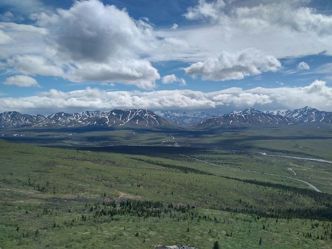
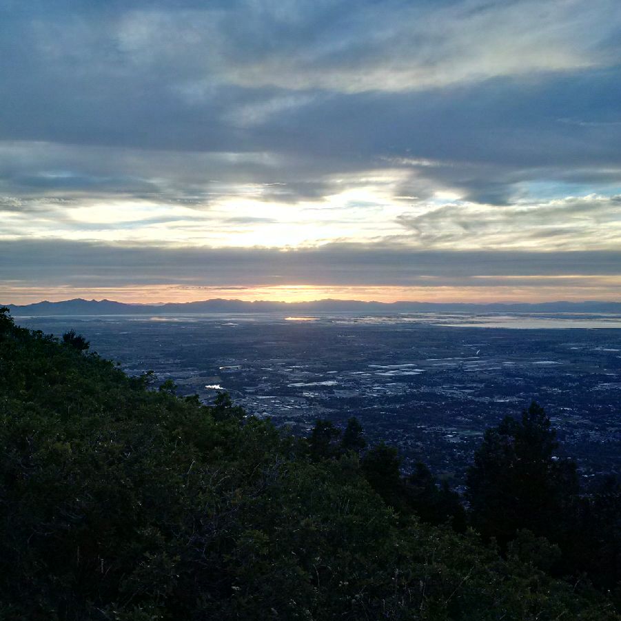
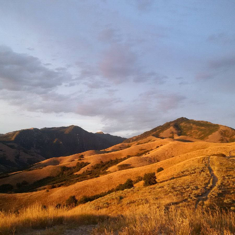
My camp spot had a great view of the surrounding Mt. McKinley and was easily reachable to great hiking sites particularly those of Polychrome and Stony Dome. I hiked through Primrose Ridge and Mt. Elison and was able to conquer the peaks of Polychrome and Stony Dome.

My experience at the park was great and I am sure yours would too. But if you are considering going on a trip to the Denali National Park and Preserve, I would suggest you take my advice below seriously.

ADVICE

When looking to go on the trip, plan to go during the summer times as the weather is often more pleasant and nicer as summer can get and also, the weather is more predictable at this time of the year (you don’t want to be hiking in snowy weather). There are also a few must-have items when hiking through the mountain ranges of the Denali National Park and Preserve. You should always have a compass (I learned the hard way), a Denali topography map, a hiking bag packed with supplies for at least 1 full day, a water purifier, stove, and camping tent should the need arise for you.

Denali National Park - Avid Amiri Denali National Park Denali National Park Denali National Park Denali National Park Denali National Park Denali National Park Denali National Park Denali National Park Denali National Park

Bamboo Hike On Maui, Hawaii

Bamboo Hike On Maui, Hawaii

If you are looking for a break from the beach and on the lookout for some adventure, the Hana Highway on Maui, Hawaii is an incredible spot to visit and offers far more than just sightseeing.  Apart from the fact that you experience a very authentic Hawaii in this area, you will have a chance to take a respite from the tourist crowds as well.  I recommend the bamboo hike, which is sometimes mistakenly referred to as the “Commando Hike”.

This hike combines the some incredible features including hiking through a dense bamboo forest which opens up to some jungle streams and waterfalls.  The hike is accessible right after the single lane section of the Hana Highway with the blind corner.

While I wish I could be more specific to readers, this hike is not labeled (few things on the Hana Highway are) and there is no signage.  Therefore, this description is the best I can provide.  Please note, it is also across from the rainbow eucalyptus grove off to the side of the road which is generally a spot where many folks pull over, stretch their legs and take pictures.

I would surmise this is about 15 to 20 minutes from mile marker 1 at the outset of the Hana Highway.  The bamboo hike is certainly not for the faint of heart but it is not a dangerous or technically challenging hike either.   I would rate this largely a beginner to intermediate hike although I would not suggest it to children.

During periods of intense rain the waterfalls on this side of Maui can really be breathtaking and this is a location where you can see several in succession and also swim in the pools they create.  Be aware that there can often be muddy conditions so be prepared to get some dirt and mud on your feet.  I typically perform this hike in flip flops.

I would also suggest wearing shoes that you expect to get wet.  Remember also that the mud on Maui has a heavy mineral content and has earned the honorific “Maui Mud” for its ability to stain clothes a dark brownish hue. Therefore, don’t wear or bring items that you want to protect. I would also recommend bringing your own water on this hike.

A 12-16 ounce water bottle should be enough to suffice given the length of the hike which is about 2 hours in totality. There will be portions of this hike as well that require some climbing and the final push will require swimming through some pools to access Angel Fall which is the final waterfall of the adventure. If you are up for some climbing, swimming and hiking this hike is a must do when in Hawaii.

Ogden Trail Network: Malan’s Basin

Ogden Trail Network: Malan’s Basin

n my view the most stunning portion of the hike to Malan’s Basin, is stopping at the summit of Malan’s Peak.  The peak provides majestic and panoramic views and is the true reward for making the 2000 ft elevation uphill charge.  However, for those interested in the history I would also suggest Malan’s Basin which is a short 20 minute downhill hike from Malan’s Peak.  You will know you are there because of the bronze placard commemorating the location. 

MALAN’S BASIN by Avid Amiri
Photograph Taken by Avid Amiri

The basic also boasts a small stream for fresh water for any pets.  This water would need to be filtered before it is fit for human consumption.  The basin is also a favorite spot for campers and evidence of camp fire pits abounds.  From the basin you no longer have any views of the city but can look up to the one towering peak of Mount Ogden up above. 

This is easy to identify because of telecommunication equipment and an antenna tower.  While it is possible to make the final leg of the hike to Mount Ogden, I have never identified the trailhead.  On one occasion I ran into another hiker that conveyed they located the trail but it was heavily overgrown. He claimed that transgressing the trail would require a machete to cut back the foliage. 

I am not sure about this but do know that if one has made the ascent to Malan’s Peak, dropping into Malan’s Basin below is a good idea.  There are also some interesting tree and root formations.  The shade on the Peak is non-existent as you basically stand atop craggy rock but as you make the descent to the Basin you will enjoy additional tree cover. 

Note, at this elevation it is not unusual to be almost level with hawks and even eagles and you can spot them as they circle directly overhead.


Malan’s Peak: Ogden, Utah

Malan’s Peak: Ogden, Utah

The most avid mountaineer or hiker would appreciate the miles of first class hiking and mountain biking terrain afforded by the Ogden Trails Network.  This network is composed of over 35 miles of extremely well maintained hiking and mountain biking trails.  The incredible trails are generally lightly populated and very easily accessible from various trailheads just a few minutes from downtown Ogden.  They offer cool shade in the summer and one of a kind breath taking views as one gains in elevation. 

Sunset View From Malan's Peak by Avid Amiri
Photograph Taken by Avid Amiri

The accessibility of this network is really quite remarkable.  The trail network is accessible through a series of well marked trailheads that run north to south along the eastern periphery of the city. In particular, one of my favorites it Malan’s Peak which is a phenomenal hike that provides a good uphill exercise and plenty of vistas and viewing locations to survey expansive views of the city and the western reaches beyond.  There is no shortage of awe inspiring viewing locations and the hike is a reasonable one for hikers of all skill levels.  The hike is also easy to find as the trail is well marked with trailhead markers and signage and is well visible despite moderate growth along the sides of the trail in some areas.

The first time I did Malan’s peak I was not quite prepared for the length of the uphill climb.  While was a fairly easy grade in most places it does feel interminable during the last couple of miles of the uphill.  The length of the hike depending on your starting location can be around 8-10 miles. I would classify the hike as a morning or afternoon hike and would encourage one to bring snacks and to bring plenty of water (at least 60 ounces) and to don sturdy hiking shoes. For those not prepared for this length of a hike, there are no shortage of stopping points and one can cut the hike short, take in the views and backtrack. The hike begins in a deciduous environment, mostly scrub oaks and shrubs.  As one continues the climb and ascends to higher elevations the environment turns coniferous, with towering evergreen trees and the fragrant scent of pine.  One will follow the trail that continues on to Taylors Canyon and turn right at the well-marked sign that crosses a short 8 foot wooden bridge.

Malans Peak by Avid Amiri
Photograph Taken by Avid Amiri

What is especially nice about the hike up until this point is that you are accompanied by a stream that lightly cools the shaded trail and provides the soothing sounds of running water.  This stream is fed by a cave spring up above.  You will at one-point traverse almost directly on top of it and this is a great stopping point for views.  In particular, this is a spot where one can drop in below the trail to refill water bottles.  The water is renowned for its purity and gushes from the cave spring all year long (although I hear does sometime freeze in the coldest times of the winter).  I have consumed water from the spring many times and have found it always to be very refreshing and have never had an issue with stomach upset.  Moreover, given the purity (I am assuming the waters source is the snow melt from Ogden Canyon up above) I have never once had to filter the water or purify it in any way.  Given the high mineral content, it is always very flavorful.  As an aside, I have come across individuals with handcarts and large water containers that make the hike to this point simply to “harvest” the water.  When speaking to some of these individuals they claim that the water has certain unique properties that make it a desirable spring water.  While I cannot comment on that, I do appreciate the stopping point on the way up (as well as again on the way down) to fill up on water for the miles ahead.

Sunset from Malans Peak by Avid Amiri
Photograph Taken by Avid Amiri

In terms of the history of Malan’s Peak as well as Malan’s Basin beyond, this used to be the location of a hotel in the early 1900’s.  Apparently, the hotel burned down but one can still see evidence of the structure including the old boiler where the hotel once stood.

I would suggest that hikers make their way to the summit as this is truly a phenomenal hike and the views from the peak are panoramic. Depending on when you begin your hike be prepared for a stunning sunset to the west over Antelope Island and the Great Salt Lake.  The hike is dog friendly, has great visibility, and is generally always lightly populated. Spring and Fall are the best times to conduct this hike but I have made the summit in the hottest parts of the June or July and have still enjoyed it.  I would recommend bringing a flash light if you begin the hike in the afternoon and also pack bug spray as there are mosquitos at the higher elevation although they are not overwhelming.  One other caveat is to keep an eye of for rattlesnakes.  While they are not aggressive and will not go out of their way to strike, you are in their natural habitat, therefore, a curious off leash dog could be a target for a rattler in a defensive posture.  Please note, it is unlawful to harm the snakes.  I would ask that you keep your dog on leash and just keep an eye out for the snakes.  You will see them with regularity and I generally spot rattlesnakes about once every other time I perform this hike – so the odds you will see one is about 50-50.  Having said that, they are not aggressive and provide ample warning if they feel they are threatened.  

I have includes some images from my last visit summer of 2016.   This is truly a great day hike in Utah and a hike that will leave you with a sense of accomplishment having made good use of your morning or afternoon.

Salt Lake City, Utah (Black Mountain Hike)

Salt Lake City, Utah (Black Mountain Hike)

One of my absolute favorite hikes just minutes from downtown Salt Lake City, Utah is Black Mountain.  Despite it ominous name, the hike is a uniquely memorable hike given the panoramic nature of the views from the summit.

The trail is well suited one for those willing to gain some altitude and engage in a more strenuous day hike.  I would not recommend this hike for younger kids but for experienced hikers who are looking for a half day hike with significant elevation.

There are spots of this hike that are a virtual climb and even some short sections where there may be some light scrambling. While there is virtually no shade along the way and no additional sources of water other than what you have with you, I would recommend this hike in the spring or fall.

Black Mountain SLC by Avid Amiri
Photograph Taken by Avid Amiri

However, if you are visiting Salt Lake and have the time I strongly suggest it. The views from the summit and along the trail are truly breathtaking. If you are a resident of Salt Lake than this hike is perfect for a Saturday or Sunday afternoon.  I would advise allocating at least 5 or 6 hours for this hike depending on your pace.  Also packing wisely for this hike is a must.  This includes bringing at least 40 ounces of water per hiker as well as sun screen and snacks or sandwich.

Personally, I would suggest that one pack at least 60 ounces of water so that you won’t have to ration water along the way and so that you can stay adequately hydrated.

The summit of Black Mountain is an ideal spot to take a break and enjoy a meal prior to making the descent back down to the base.  My preferred starting point for the hike is North Bonneville Drive where one can easily park.  This is a dead end street and there is a gate that leads to designated Forest Reserve land. There is a short 2 minute hike that winds to a small stream.

Black Mountain Hike by Avid Amiri
Photograph Taken by Avid Amiri

In recent years, the stream has been dry but the dry stream bed is easy to identify and if you take a right at the fork immediately past the stream bed this will provide you with a direct uphill climb that will take you past the Bonneville Shoreline Trail and to the Avenues Twin Peaks.

The nice thing about this access trail is that is very rarely utilized by casual hikers therefore allows one to have the trail largely to themselves.  While other trails in this general area are heavily utilized by mountain bikers this one does not lend itself to bikes given the steep grade.  Nearby is the well-recognized Bobsled Trail which is a favorite among locals.

The first phase of this hike is a series of uphill climbs and plateaus that step climb toward the Avenues Twin Peaks.  There is moderate foliage largely scrub oaks and in the spring the area is replete with wildflowers and grasses.  This portion of the hike is exactly one mile.  When you reach the first peak you will see City Creek down below on the north slope.  You will take the right and head toward Black Mountain whose telltale black peak serves as an identifiable beacon so that one can gauge distance and remaining mileage.

When one reaches the Avenues Twin Peaks there will be another fork.  You will take the left side of the fork and the single trail will lead you to the summit.  Therefore, these is little risk of getting lost or off track along the way.

The second phase of the hike shall be several miles and will follow a ridgeline to the base of Black Mountain.  This third phase of the hike is the challenging segment of the hike with a very steep pitch to the trail and quite a bit of loose rock and shale.

Be prepared for some measure of scrambling in some spots.  This last portion of the hike will be about another mile and the scrub oak will turn to evergreen.

View from Black Mountain in SLC by Avid Amiri
Photograph Taken by Avid Amiri

Note, if you have dogs with you and you allow them off leash, this hike has quite a bit of prickly pear that can be difficult to spot.  On more than one occasion I have had to extract these from the paws of my pets.  The summit of the Black Mountain is well worth all the effort with stunning panoramic views that allow one to see although way to Mount Bonneville in Ogden, Utah and you have a clear view of Mount Olympus and even view to Park City.

This is one Salt Lake City hike you will not want to miss!

Wheeler Canyon

Wheeler Canyon

Wheeler Canyon, Utah is great spot within short distance of Ogden.  This is the location of the Wheeler Canyon Trail.  In order to reach Wheeler Canyon one must make the drive up 12th Street to where it converts to Ogden Canyon road. There is about a 20 minute drive up the canyon.  The hike begins at the periphery of the damn on the west side of Pineview Reservoir. It is a popular hike with a reasonable amount of traffic both from mountain bikers and hikers.

Despite the initial traffic, this does thin out somewhat as you make you way your way u the hike. The hike starts out as more of a dirt road than trail that runs up a canyon and has a river running along the side.  There is moderate shade on either side but in most segments the road is exposed to the sun.  Therefore, I would not recommend this hike necessarily in the extreme heat of summer.

This is also a great early morning or late afternoon hike. The preliminary segment of this hike is reasonably straight and runs for about a mile and a half where it breaks off into a separate trail for Icebox Canyon.  This is the more scenic stretch of the trail and it is heavily shaded.

While the dirt road for Wheeler Canyon continues on, the Icebox Canyon Trail, drops off from the road.  You will have no trouble finding the access to Icebox Canyon trail as it is marked with signage and after a short switchback will lead you across a wooden bridge.

I highly recommend discovering and enjoying this hike.  The stream that runs along its edge is great watering source for any pets. It is also very quiet save the sound of the running water and the songs of the birds.  The temperature is always cool in Icebox Canyon and it is a gentle grade.

This is always a scenic and relaxing hike. I recommend this hike for hikers of all ages. 

This hike is also especially memorable in the fall with the rich abundance of fall colors with all the Aspen and Cottonwood trees.

Ogden Trail Network

Ogden Trail Network

There are a series of scenic short hike along the Ogden Trail Network in Ogden, Utah for the less experienced hiker. These are all easily accessible from downtown Ogden.  There is always plenty of free parking at the trailheads and most trails are lightly populated. In particular, one can choose various spot to jump on the Bonneville Shoreline Trail.

This segment of the trail runs north to south and is typically a very easy segment of the trail network. In the spring they are also a great spot to go birdwatching and the area has been a frequented destination for bird enthusiasts. However, my suggestion is to explore the trails that run east into the various canyons such as Taylors Canyon and Waterfall Canyon.

One of my favorites is the Indian trail which runs along the canyon slope well above Ogden Canyon Road. There is also the waterfall hike which leads to an impressive 100 ft waterfall which cold mountain snow melt that cascades off of the granite spire at the top of the hike.  You will be pleasantly surprised by the size of the waterfall and the incredible views.

In the last couple of years, they have also built a zip line that runs above the waterfall.  While the zipline is a short one, I have been told it is a fun time for kids and adults alike.  As mentioned elsewhere in my blog, be on the lookout for wildlife including deer, porcupine, skunk, and rattlesnake. These creatures are all non-aggressive and will generally turn tail at the sign of humans.

Even the rattlesnakes have no interest in humans but have been known to lunge at dogs if they feel threatened.  Please be respectful of all wildlife and be sure to clean up after yourselves.  There are miles of fantastic trails ready for discovery for those willing to get outside and explore them.